#28: Truckin' Up the California Coast (& Pinnacles National Park)
Leaving Ventura, the only plan I had was to camp at Pinnacles National Park that very night. I had made a reservation for two nights at the Pinnacles campground, but one night was forfeited since I extended my time in Ventura by a day when I found out Channel Islands National Park was open (see previous post #27). Unfortunately, this happens sometimes, and I do a quick cost-benefit analysis in my mind to decide what to do. In this case, I was more than willing to sacrifice a night at Pinnacles to visit Channel Islands.
It was going to be a long day of driving up the coast - not only was it nearly a four-hour drive to my next destination but also there were a lot of little places I wanted to check out along the way. You may be thinking, “Why did she only give herself a day to go from Ventura to Pinnacles?” (see map below), but I had a tough time finding camping spots along the coast.
I want to note: from here on out on my journey, there are a few things to keep in mind to understand some of the decisions I make:
1) It’s summer, so it’s busy everywhere. You need to take what you can get if you don’t want to plan too far in advance.
2) COVID thing #1. More people are embracing this “nomad” lifestyle and/or choosing to vacation via RV (no one wants to stay in a hotel) to do “outdoor” stuff (outdoor activity is the only option).
3) COVID thing #2: Fewer places/campgrounds are open. I’ve seen parks that have closed every other site to practice social distancing. Some parks have closed entire campgrounds and/or don’t offer camping at all.
4) COVID thing #3: Tours, buses, and organized activities are either not running or not running at full capacity.
More people are out there, and fewer things are open/running. So, if this adventure wasn’t challenging enough, it’s even way more challenging now. But, I keep my head up and put things in perspective: I’m out here doing this, and I’m healthy.
My first stop on this route was Pismo Beach. And by stop, I mean merely a halt. A couple I had met a few weeks earlier had mentioned a cinnamon roll place that I couldn’t resist.
It. Was. Delicious. The next two photos were taken about 2 minutes apart. The gooey deliciousness did not last long.
After a gluttonous five minutes, I hit the road for San Luis Obispo (“SLO” as Californians call it). I couldn’t tell you what, exactly, there was to see in this little town, but since I had heard about it and was going to be close to it, I wanted to check it out.
I was able to park the car and Airstream easily, and Addie and I walked around. I don’t have anything crazy to report on this town. It was quaint, the people were friendly, and the weather was fantastic. There is an array of different types of shops and lots of touristy things to buy. Maybe it’s the retail ingrained in me, but I love exploring different kinds of shops and seeing all of the creativity people put into their small businesses.
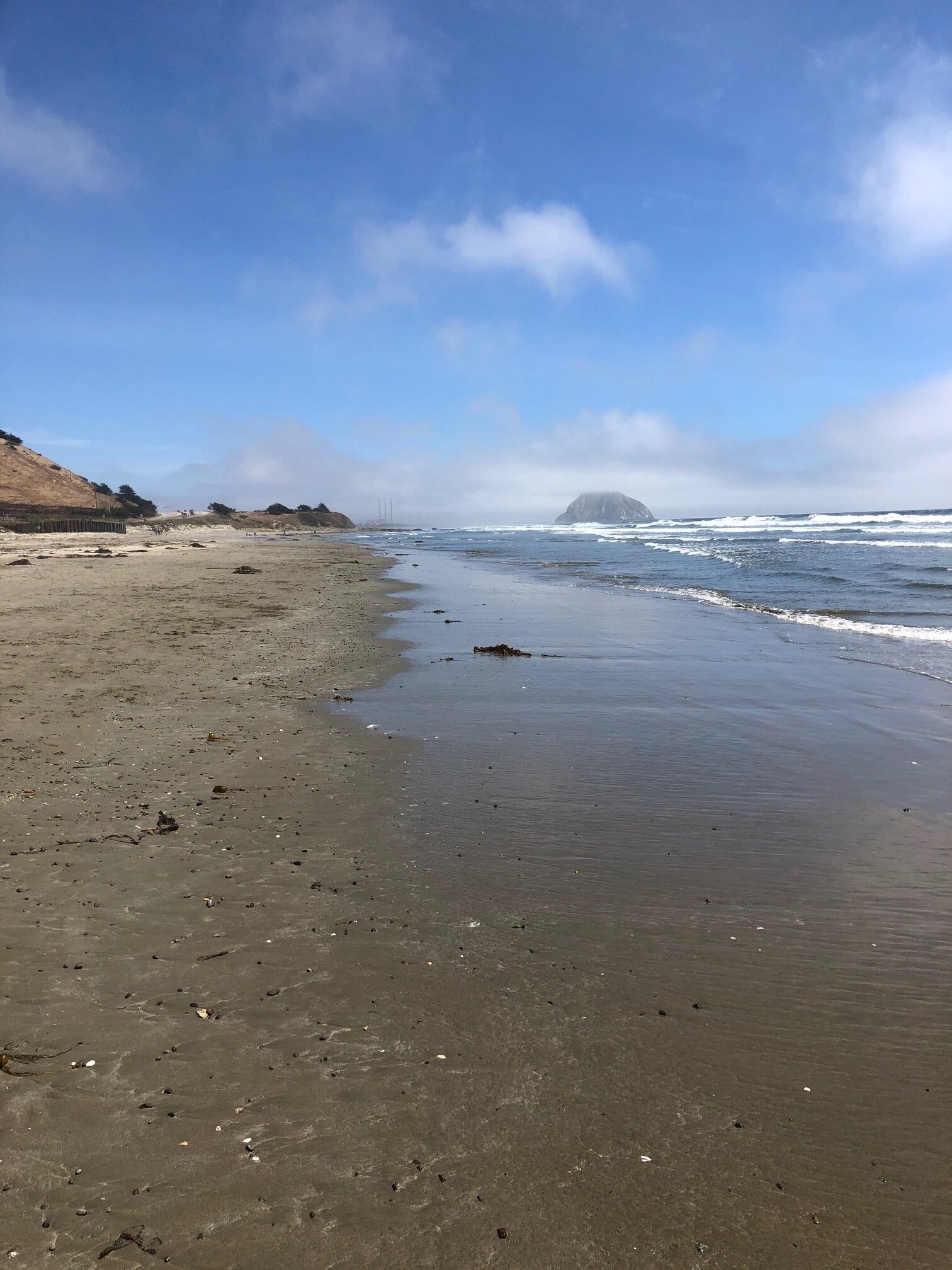
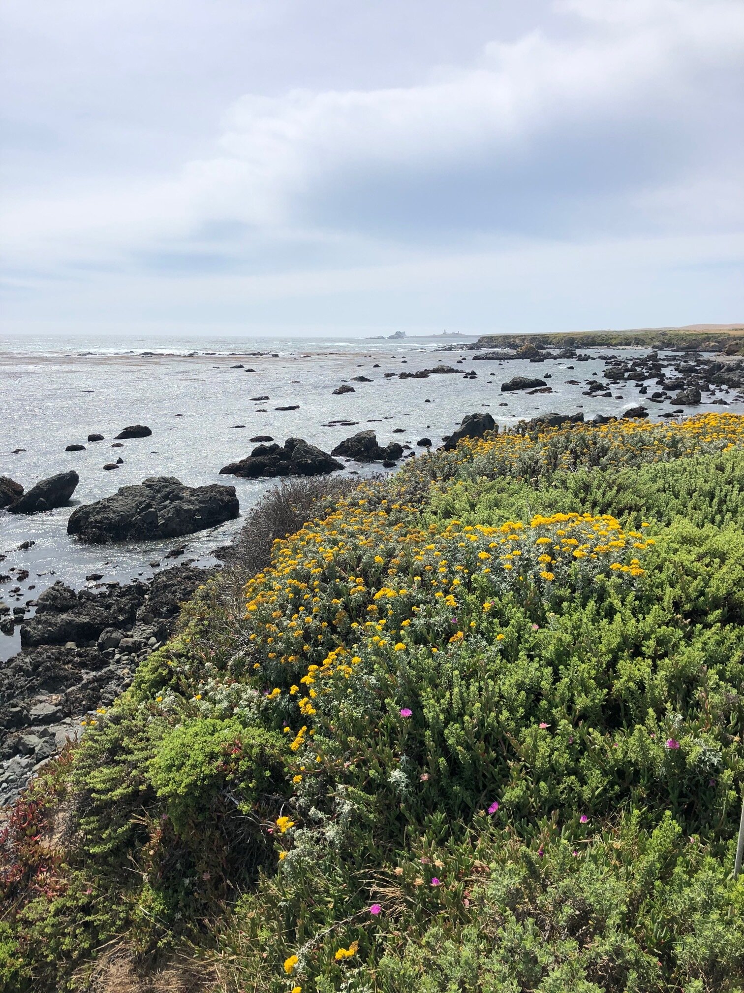
The next place I wanted to see was Big Sur. But first, some roadside stops along the way. Around every corner, I wanted to stop as the views were so breathtaking. I think my favorite part was the elephant seals, though. Hehe.


When I got to Big Sur, I admit I was somewhat confused. I noticed how the forest butted right up to the coastal cliffs, but I didn’t know what, specifically, to look for. According to the Big Sur Chamber of Commerce, “Big Sur refers to that 90-mile stretch of rugged and awesomely beautiful coastline between Carmel to the north and San Simeon (Hearst Castle) to the south.” Pfeiffer Big Sur State Park is a beautiful park in this area, but I couldn’t camp there due to limited availability. So, technically I went to Big Sur, but I didn’t explore Big Sur. Next time.
And speaking of Hearst Castle, it was closed due to COVID. Once again, next time.
I arrived to Pinnacles National Park around sundown. There is one campground at this park, and it’s accessible only from the east side of the park. There is no through road in this park, meaning you can’t get through the park by driving. Given that I had never heard of this park, and my long day, I neglected to do any research on this park beforehand. If I did, I would have known to enter from the east side of the park. However, I pulled up to the west entrance. I had no service and couldn’t figure out where to go. So, I drove back out where I had service (about 25 minutes), googled the park map, and came to the realization that the campground is on the other side.
I drove about an hour around the park to the east entrance, and by the time I arrived at the campground, it was dark. Backing into my spot in the pitch black was, well, interesting, but I got it done.
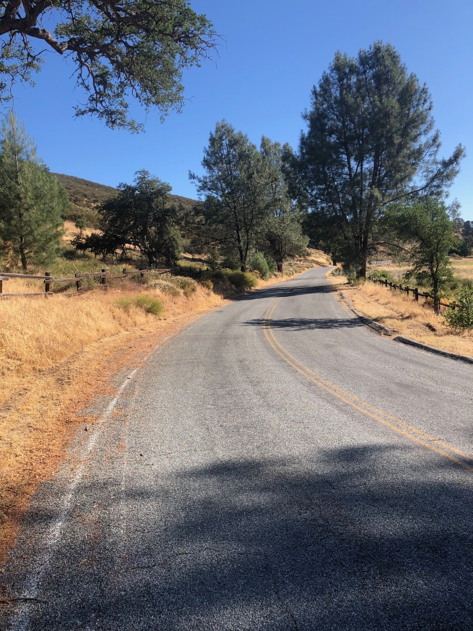
I was disappointed when I went to explore Pinnacles the following morning. The road in the park next to the campground was closed off to vehicles. Many people biked to trailheads, but A) I don’t have a bike with me, and B) I have Addie. We decided to walk on the road, and we “hiked” for about five miles. Addie wasn’t allowed on any of the hiking trails, so we turned around and went back to the campground. Although I spoke to a ranger that morning, I’m still not entirely sure what the park is known for. Alas, we went.


We packed up and headed north to visit friends in Silicon Valley. On the way, I couldn’t resist stopping in Gilroy - known as the Garlic Capital of the World - at “The Garlic Shoppe.” I love garlic and spent way too much money in there to admit. With garlic breath, we got back in the car for the last stretch to Sunnyvale.


